---
title: "지도제작 대회"
subtitle: "3D 표고 지도(독도)"
description: |
표고 데이터와 좌표 정보를 결합하여 3D 표고 지도를 제작해보자.
author:
- name: 이광춘
url: https://www.linkedin.com/in/kwangchunlee/
affiliation: 한국 R 사용자회
affiliation-url: https://github.com/bit2r
title-block-banner: true
format:
html:
theme: flatly
code-fold: true
code-overflow: wrap
toc: true
toc-depth: 3
toc-title: 목차
number-sections: true
highlight-style: github
self-contained: false
default-image-extension: jpg
filters:
- lightbox
lightbox: auto
link-citations: true
knitr:
opts_chunk:
message: false
warning: false
collapse: true
comment: "#>"
R.options:
knitr.graphics.auto_pdf: true
editor_options:
chunk_output_type: console
---
:::{.callout-tip}
### 소스코드
[3D digital elevation maps with R](https://github.com/milos-agathon/3d-digital-elevation-maps)
:::
# 패키지
```{r}
#| eval: false
# install rayvista
# devtools::install_github("h-a-graham/rayvista", dependencies = T)
# # install elevatr
# devtools::install_github("jhollist/elevatr")
#
# remotes::install_github("tylermorganwall/rayshader")
# remotes::install_github("tylermorganwall/rayrender")
# remotes::install_github("dmurdoch/rgl")

# libraries we need
libs <- c(
    "rayvista", "elevatr",
    "rayshader", "sf", "giscoR"
)

# install missing libraries
installed_libs <- libs %in% rownames(installed.packages())
if (any(installed_libs == F)) {
    install.packages(libs[!installed_libs])
}

# load libraries
invisible(lapply(libs, library, character.only = T))

crs_LONGLAT <- "+proj=longlat +datum=WGS84 +no_defs"
```
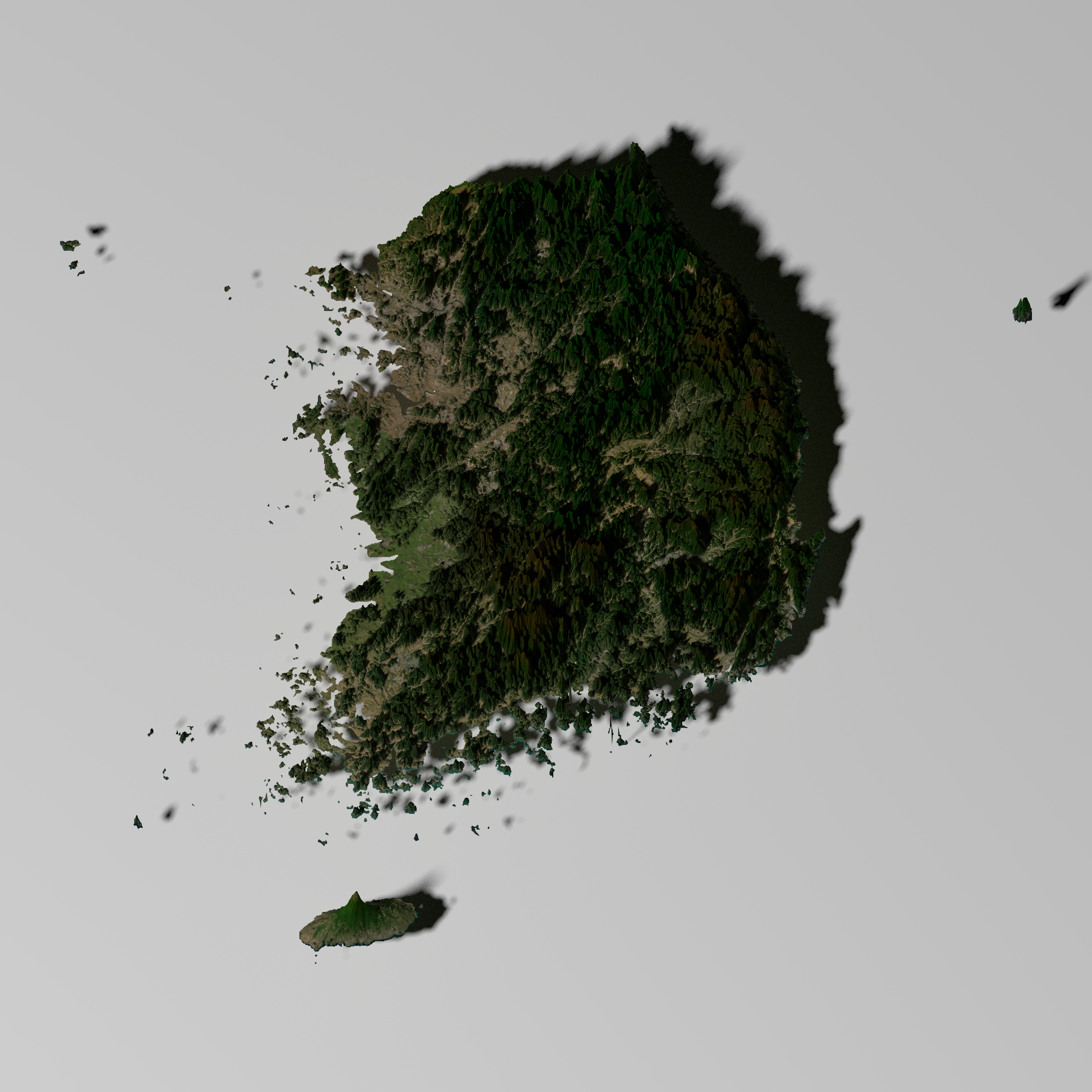
# 대한민국
```{r}
#| eval: false
# 3. RAYVISTA - COUNTRY
#----------------------

korea_sf <- giscoR::gisco_get_countries(country = "KR",
                                        resolution = "1") |>
  sf::st_transform(crs = crs_LONGLAT)


country_elevation <- elevatr::get_elev_raster(
    locations = korea_sf,
    z = 7,
    clip = "locations"
)


names(country_elevation) <- "elevation"

rgl::close3d()

korea_dem <- rayvista::plot_3d_vista(
    dem = country_elevation$elevation,
    overlay_detail = 11,
    zscale = 10,
    zoom = .8,
    phi = 85,
    theta = 0,
    solid = F,
    windowsize = c(800, 800)
)

rayshader::render_camera(phi = 75, zoom = .7, theta = 0)

rayshader::render_highquality(
    filename = "images/korea-dem.png",
    preview = FALSE,
    light = T,
    lightdirection = 225,
    lightaltitude = 60,
    lightintensity = 400,
    parallel = TRUE,
    width = 4000,
    height = 4000,
    interactive = FALSE
)
```
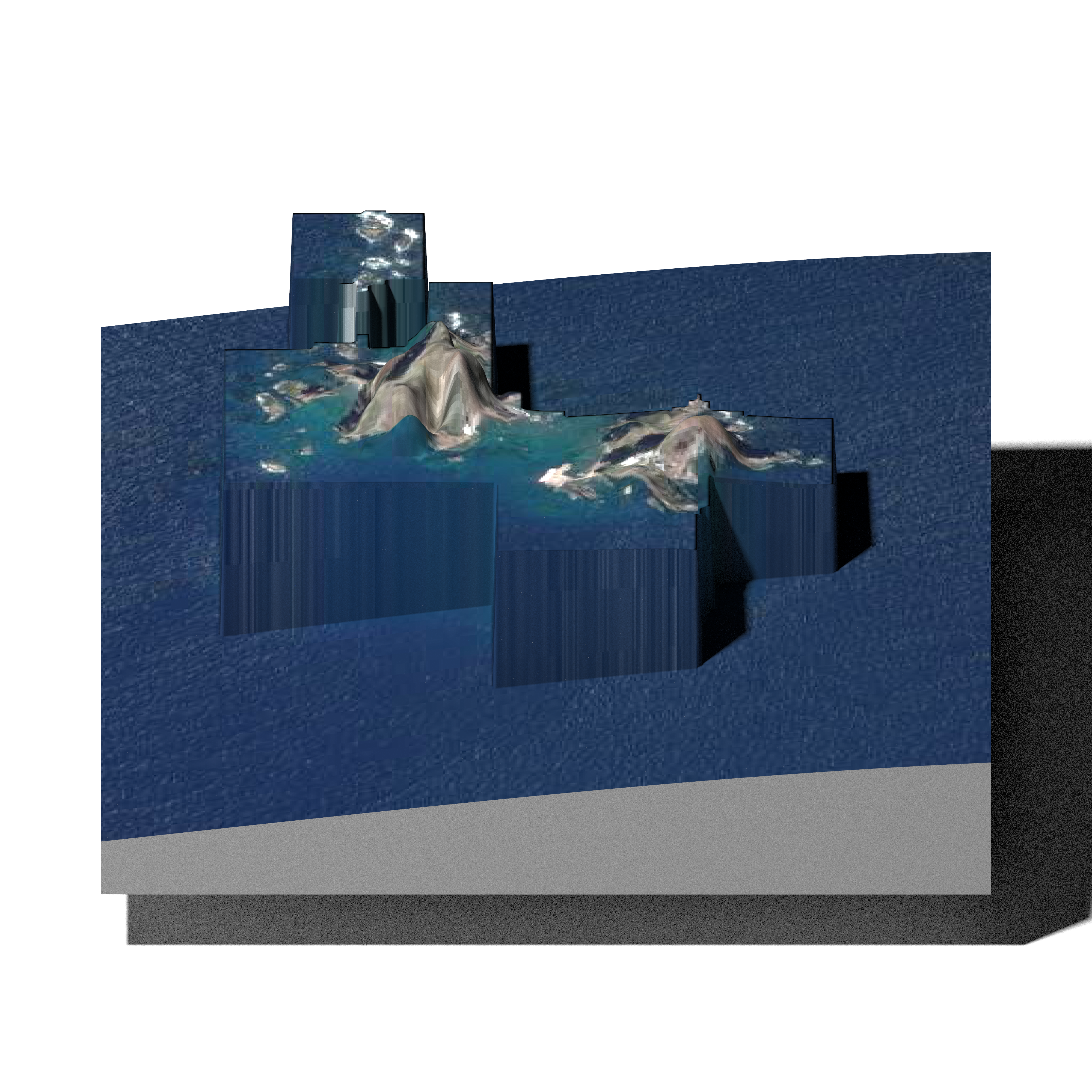
# 독도
```{r}
#| eval: false
get_area_bbox <- function() {
    xmin <- 131.860035
    ymin <- 37.237007
    xmax <- 131.874372
    ymax <- 37.245153

    bbox <- sf::st_sfc(
        sf::st_polygon(
            list(
                cbind(
                    c(xmin, xmax, xmax, xmin, xmin),
                    c(ymin, ymin, ymax, ymax, ymin)
                )
            )
        ), crs = crs_LONGLAT
    ) |> sf::st_as_sf()

    return(bbox)
}

dokdo_bbox <- get_area_bbox()

rgl::close3d()

dokdo_dem <- rayvista::plot_3d_vista(
    req_area = dokdo_bbox,
    phi = 80,
    theta = 0,
    zscale = 0.1,
    outlier_filter = .001
)

rayshader::render_snapshot(
    filename = "images/dokdo.png",
    clear = T
)
```
# 독도 (위경도)
```{r}
#| eval: false
.lat  <- (37.237007 + 37.245153) / 2
.long <- (131.860035 + 131.874372) / 2

dokdo <- plot_3d_vista(lat = .lat, long = .long,
    radius =1000,
    zscale = 5,
    zoom = .8,
    solid = TRUE,
    elevation_detail = 13,
    overlay_detail = 15,
    theta = 0,
    windowsize = 800)

rayshader::render_camera(
    zoom = .7, theta = 0, phi = 30
)

rayshader::render_highquality(
    filename = "images/dokdo_highqual.png",
    preview = T,
    light = T,
    lightdirection = 225,
    lightintensity = 1200,
    lightaltitude = 60,
    interactive = F,
    width = 4000,
    height = 4000
)
```